Africa Map Quiz: Why Most People Can't Find Half the Countries (and How to Fix That)
The Africa map quizis the geography challenge that exposes how little most of the world actually learns about the continent. In a 2019 survey by Afrobarometer, fewer than 15% of non-African respondents could correctly identify more than 25 of Africa's 54 countries on a blank map. Europeans averaged 19. Americans? Seventeen. And it's not because these people are bad at maps — it's because Western education systems barely touch African geography beyond Egypt and South Africa. This quiz fixes that gap, one click at a time.
Why Africa Stumps Even Geography Fans
Africa is the second-largest continent on Earth — roughly 30.3 million square kilometers, three times the size of Europe. Yet the Mercator projection, still the most common classroom map, shrinks Africa to look smaller than Greenland (which is actually 14 times smaller). That visual distortion warps people's mental model from the start.
Then there's the sheer count. Fifty-four sovereign nations, more than any other continent. Europe gets constant news coverage for its 44 countries. Asia's 48 countriesinclude globally dominant economies like China, Japan, and India. Africa's countries — particularly in West and Central Africa — rarely make international headlines unless there's a crisis, so the names don't get reinforced.
The colonial legacy makes things worse. Many borders were drawn by European powers at the Berlin Conference of 1884-85, cutting through ethnic and geographic boundaries with straight lines. Those straight-line borders create visually similar rectangular shapes in the Sahel and Central Africa, making countries harder to distinguish by outline alone. Compare that with Italy's boot or India's triangle — Africa has fewer "signature shapes" for your brain to latch onto.
How This Africa Map Quiz Works
All 54 countries cycle in random order. Each round displays a country name at the top. You click where you think it sits on the blank map. Green means correct, red means wrong, and the correct country always highlights so you learn with every attempt. No timer — spatial memory research consistently shows that untimed practice produces stronger long-term retention than speed drills.
Results break down across five sub-regions: North Africa, West Africa, Central Africa, East Africa, and Southern Africa. This breakdown is the single most useful part, because most players discover they have a strong region (usually North or Southern Africa) and a weak one (almost always West Africa). If you've already tried our Europe map quiz, you'll find Africa is a step up in difficulty — ten more countries and less familiar territory.
The 10 Hardest African Countries to Identify
Cross-referencing data from Sporcle, JetPunk, and in-house testing, these countries cause the most misclicks:
| Rank | Country | Error Rate | Commonly Confused With |
|---|---|---|---|
| 1 | Guinea-Bissau | 78% | Guinea, Senegal |
| 2 | Togo | 75% | Benin, Ghana |
| 3 | Benin | 72% | Togo, Nigeria |
| 4 | Burkina Faso | 70% | Ghana, Niger |
| 5 | Equatorial Guinea | 68% | Gabon, Cameroon |
| 6 | Burundi | 65% | Rwanda |
| 7 | Sierra Leone | 63% | Guinea, Liberia |
| 8 | Eswatini | 60% | Lesotho |
| 9 | Republic of the Congo | 58% | DRC, Gabon |
| 10 | Djibouti | 55% | Eritrea, Somalia |
Seven of the top ten are in West or Central Africa. That cluster of small, similarly shaped coastal nations is basically Africa's version of the Balkans — except with even more countries packed tighter.
The West Africa Problem: 16 Countries in One Corner
West Africa deserves its own section because it accounts for nearly half of all errors. Sixteen countries — Mauritania, Senegal, Gambia, Guinea-Bissau, Guinea, Sierra Leone, Liberia, Ivory Coast, Mali, Burkina Faso, Ghana, Togo, Benin, Niger, Nigeria, and Cabo Verde — occupy roughly the same area as Argentina. That's sixteen borders to distinguish where most people can barely name six.
There's a geographic anchor trick that helps. Start with Nigeria — it's the most populous country in Africa (223 million people) and sits on the eastern edge of West Africa's coast like a giant block. Everything west of Nigeria is West Africa. From Nigeria, go west along the coast: Benin (thin vertical strip), Togo (even thinner strip right next to Benin), Ghana (bigger square), Ivory Coast (same size as Ghana, west of it). Then the coast curves north: Liberia, Sierra Leone, Guinea, Guinea-Bissau, Gambia (a sliver inside Senegal), and Senegal wrapping around Gambia. Above the coastal countries sit the landlocked ones: Mali (huge), Burkina Faso (between Mali and Ghana), Niger (east of Mali, north of Nigeria).
The coastal sequence reads: Nigeria → Benin → Togo → Ghana → Ivory Coast → Liberia → Sierra Leone → Guinea → Guinea-Bissau → Senegal. Memorize that east-to-west chain, and you've cracked the hardest region on the quiz.
Region-by-Region Learning Strategy
Don't try to memorize all 54 at once. Attack one region per practice session.
North Africa (6 countries) — The easiest region. Morocco and Western Sahara on the northwest coast, Algeria (massive, center-north), Tunisia (tiny, north of Algeria), Libya (east of Algeria), Egypt (northeast corner touching the Red Sea). Most people get 4-5 of these right without studying. Our flags of the world quiz can reinforce these through visual pattern recognition — North African flags share distinctive star and crescent motifs.
West Africa (16 countries) — The hardest region. Use the coastal chain from the section above. Nigeria is your anchor, then chain west. The landlocked trio (Mali, Burkina Faso, Niger) sit above the coast. Cabo Verde is an island chain off the west coast of Senegal. Mauritania is the large country between Western Sahara and Mali.
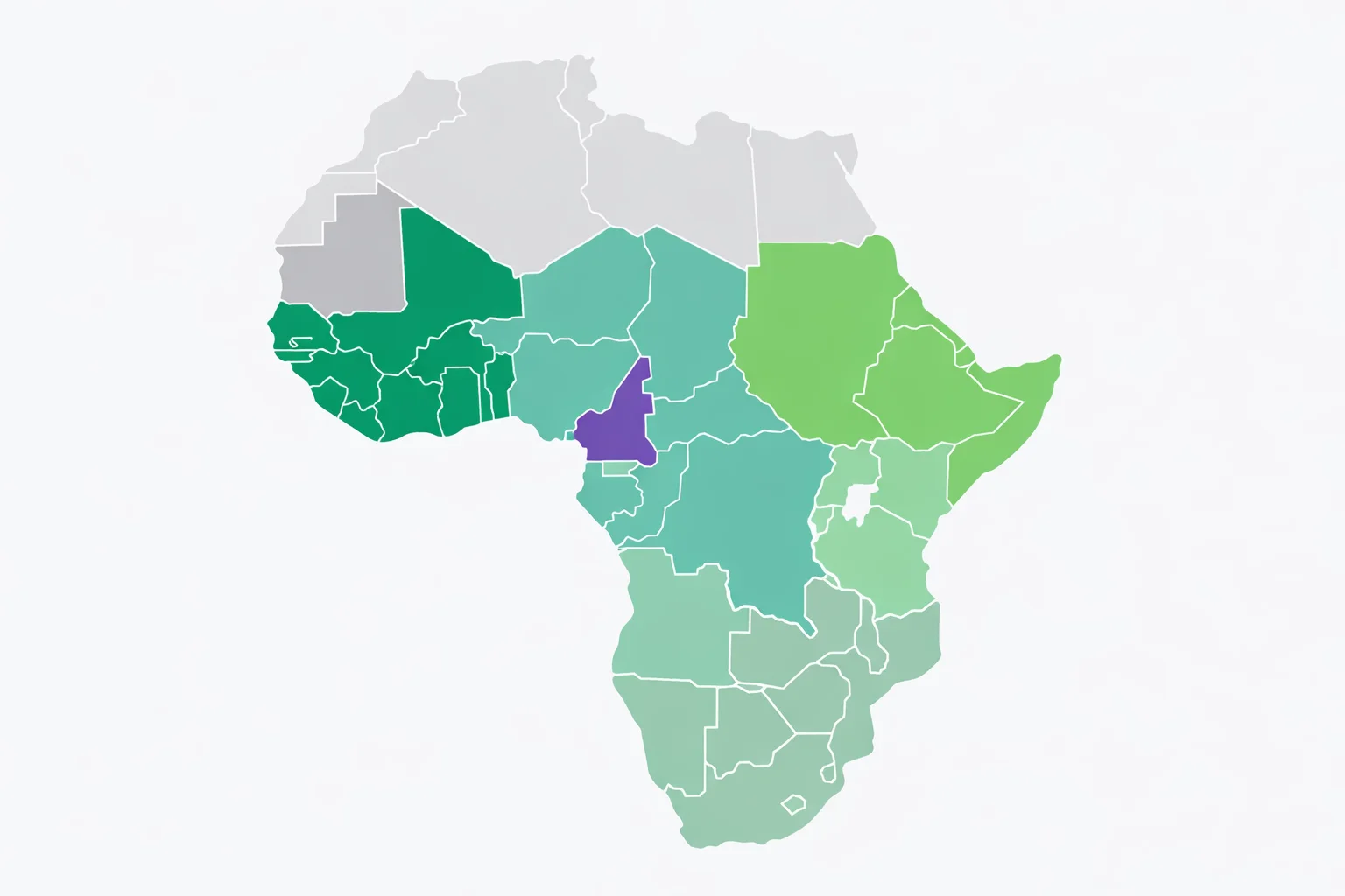
Central Africa (9 countries)— The DRC (Democratic Republic of the Congo) dominates this region — it's roughly the size of Western Europe. West of it: Republic of the Congo, Gabon, Equatorial Guinea, Cameroon, and Sao Tome and Principe (island). North of it: Central African Republic and Chad. Learn the DRC first (its distinctive shape is hard to miss), then work outward.
East Africa (13 countries)— Sudan is the largest, sitting south of Egypt. South Sudan split from it in 2011 (the world's newest country). The Horn of Africa juts east: Eritrea, Djibouti, Ethiopia, Somalia. South of them: Kenya, Uganda, Rwanda, Burundi, Tanzania. The island nations — Madagascar (big, off the southeast coast), Comoros, Seychelles, Mauritius — are bonuses many players forget.
Southern Africa (10 countries) — South Africa is the anchor at the bottom. Lesotho is completely enclosed inside South Africa (one of only three countries in the world fully surrounded by another). Eswatini (formerly Swaziland) is also tiny, tucked between South Africa and Mozambique. Up the east coast: Mozambique, then inland: Zimbabwe, Zambia, Malawi. West side: Namibia, Botswana, Angola.
African Country Pairs Everyone Confuses
Some mix-ups are so universal they're practically guaranteed on a first attempt. Here's how to untangle them:
- Togo & Benin — Two thin vertical strips side by side on the West African coast. Togo is the western one (touches Ghana), Benin is the eastern one (touches Nigeria). Remember: Togo touches Ghana — both have a "G" sound.
- Republic of the Congo & DRC — They share a border along the Congo River. The Republic of the Congo (Congo-Brazzaville) is the smaller western one. The DRC (Congo-Kinshasa) is the massive one, roughly 7 times larger.
- Rwanda & Burundi — Stacked vertically in East Africa. Rwanda is the northern one (borders Uganda), Burundi is directly south. Remember: R comes before B alphabetically, and Rwanda is above Burundi.
- Lesotho & Eswatini — Both tiny southern African kingdoms. Lesotho is completely inside South Africa (circular shape in the southeast). Eswatini is on the border between South Africa and Mozambique (eastern edge).
- Guinea & Guinea-Bissau — Guinea is the larger country. Guinea-Bissau is the small one northwest of Guinea, touching the Atlantic coast. The "-Bissau" suffix comes from its capital city.
For a completely different identification challenge, test how well you know the countries of the world quiz — naming all 197 nations from memory, Africa included, in 15 minutes.
All 6 Score Tiers Explained
Your result places you in one of six tiers based on how many of the 54 countries you clicked correctly:
🏆 Perfect Score (54/54): Every country correct on the first click. You identified Guinea-Bissau, Togo, and Equatorial Guinea without hesitation. About 2% of players achieve this. Your African geography knowledge is genuinely exceptional.
🌟 Africa Expert (48-53):Near-perfect. The handful you missed are almost certainly small West African coastal nations or tiny kingdoms like Eswatini and Lesotho. Top 5% of all players. Retake once and you'll likely hit 54.
🎯 Continental Scholar (40-47): Clearly above average. North Africa and Southern Africa are probably locked in. Your misses cluster in West and Central Africa — the two regions that trip everyone up. Better than 75% of players.
🧭 Solid Explorer (30-39): You know the big countries and many medium-sized ones. Egypt, South Africa, Nigeria, Kenya, Ethiopia — no problem. The crowded coastal strips and landlocked central nations are where points disappear. Above average overall.
📍 Getting Oriented (18-29): The famous countries and distinctive shapes are in place. You probably got the entire North Africa row and a few Southern African countries. West Africa looks like a blur — totally normal. Focus on the coastal chain sequence.
🗺️ Discovering Africa (0-17):Africa has 54 countries across a continent three times the size of Europe. Most people's first attempt lands here because the baseline exposure is so low. Two or three retakes typically triple your score — the feedback loop teaches fast.
How to Actually Learn the Map of Africa
Reading country lists doesn't build geographic memory. The brain encodes spatial information through spatial practice — clicking on a map, tracing borders, mentally placing neighbors. That's why this quiz format works: every click is a retrieval attempt, and retrieval practice is the single most effective learning strategy according to decades of cognitive science (the testing effect on Wikipedia).
Use anchor countries. Every region has 2-3 unmistakable countries. Egypt in the northeast, South Africa at the bottom, Nigeria on the west coast, DRC in the center, Madagascar off the east coast. Anchor those first. Each anchor constrains what can be next to it, so neighboring countries become easier by elimination.
Learn the coastal chain.Africa's coastline is your best mnemonic device. Start from Morocco and trace clockwise: Western Sahara, Mauritania, Senegal, Gambia, Guinea-Bissau, Guinea, Sierra Leone, Liberia, Ivory Coast, Ghana, Togo, Benin, Nigeria, Cameroon, Equatorial Guinea, Gabon, Republic of the Congo, DRC (brief coast), Angola, Namibia, South Africa, Mozambique, Tanzania, Kenya, Somalia, Djibouti, Eritrea, Sudan, Egypt, Libya, Tunisia, Algeria — and back to Morocco. That single loop covers 32 of 54 countries.
Focus on your misses. After each attempt, look at the "Countries You Missed" list and the regional breakdown. If West Africa is red, spend two minutes just looking at the West Africa cluster. Targeted retrieval practice beats broad review every time (spaced repetition on Wikipedia).
Retake immediately. The testing effect is strongest when you retest shortly after seeing your errors. Your second attempt typically improves by 8-12 countries, and your third attempt locks those corrections into long-term memory. The quiz shuffles country order each time, so you're genuinely retrieving spatial info rather than replaying a sequence. Pair map practice with our US map quiz or 50 states quiz to build geographic fluency across multiple continents. Egypt bridges Africa and the Middle East — if you want to test that crossover region, our Middle East map quiz covers 17 countries from Turkey to Yemen. If you want a quicker warm-up before tackling 54 African countries, the South America map quiz has just 12 countries in the same click-the-map format.