US Map Quiz: Why Clicking a Map Teaches You More Than Memorizing a List
A US map quizreveals something uncomfortable: most Americans can name far more states than they can actually locate. A 2019 Morning Consult survey found that just 36% of adults could correctly point to Iowa on a blank map — and Iowa isn't even one of the hard ones. The gap between verbal recall and spatial recognition is real, and it's wider than most people expect. This quiz puts your actual map knowledge to the test by asking you to click each state when prompted.
Map Clicking vs. Name Recall: Different Brain Skills
Naming all 50 states from memory (like in our 50 states typing quiz) uses your brain's verbal memory system— the same one that handles vocabulary, phone numbers, and song lyrics. It's basically a list recall task, and your brain treats it like one.
Clicking states on a map recruits something different: your visuospatial working memory, managed by the parietal lobe. This is the same system you use when parallel parking, reading a floorplan, or remembering where you left your keys. It processes shapes, relative positions, and spatial relationships — fundamentally different hardware than the verbal loop.
That's why someone can rattle off all 50 state names in under three minutes but freeze when asked to point to Missouri. They know the word. They don't know the place.
How This US Map Quiz Works
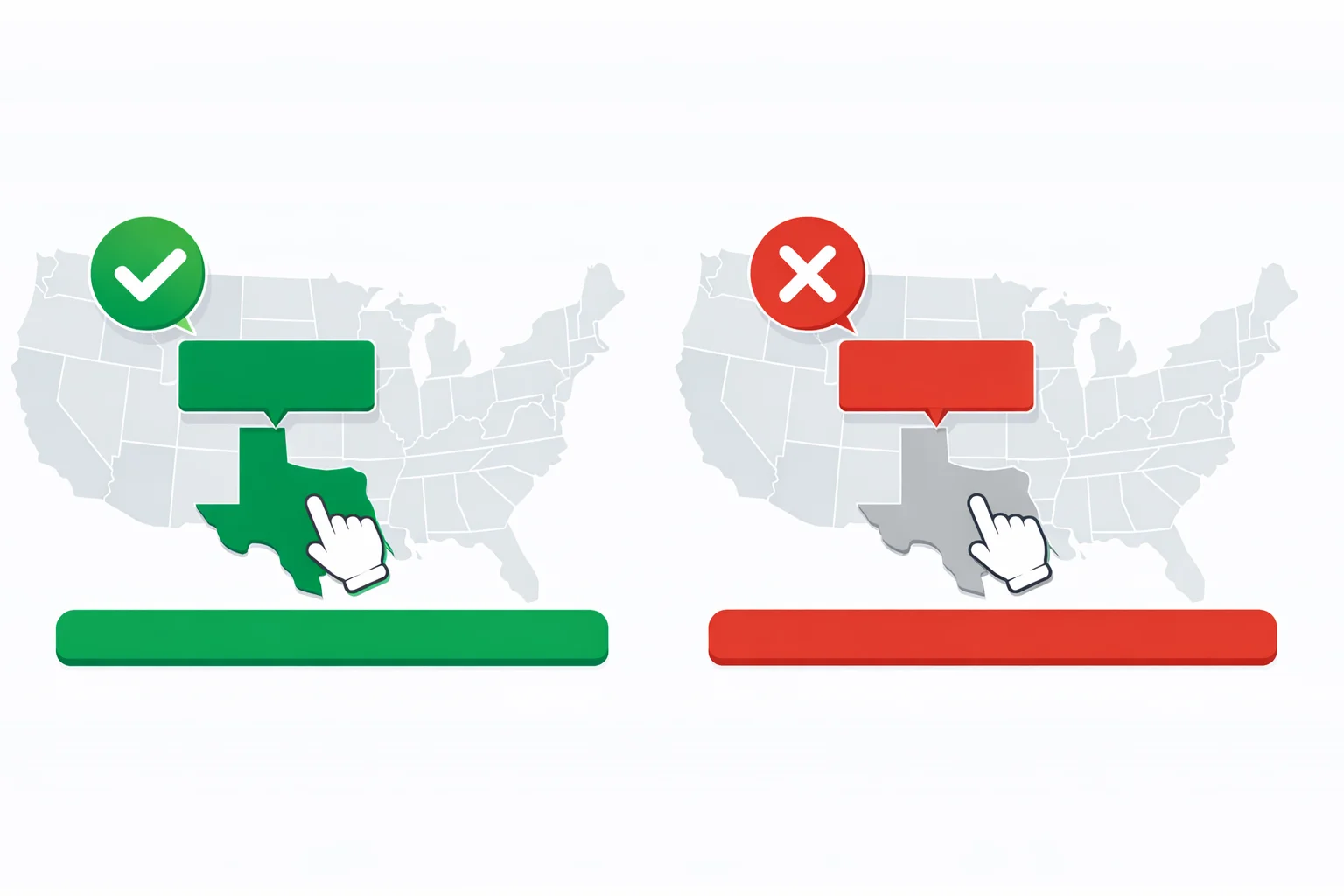
The quiz presents all 50 US states in random order. For each round, you see a state name highlighted at the top of the screen. Your job: click where that state sits on the blank map. After each click, you get instant feedback — green for correct, red for wrong, plus the correct location lights up so you learn even when you miss.
There's no time pressure. Research on spatial learning by Kosslyn and colleagues at Harvard (published in Psychological Science) found that untimed visual tasks produce stronger long-term encoding than rushed attempts. Take your time. Think about which region the state belongs to, then narrow it down by its neighbors.
The order reshuffles every time you play, so the second and third attempts aren't just pattern matching against a memorized sequence. Your score breaks down by region at the end, revealing exactly where your mental map has gaps.
The 10 Hardest States to Find on a Blank Map
Forget what you think is hard. The data from map quiz platforms tells a consistent story — and it's not the small states that people assume:
| Rank | State | Avg. Error Rate | What People Click Instead |
|---|---|---|---|
| 1 | Connecticut | 61% | Rhode Island or Massachusetts |
| 2 | Vermont | 58% | New Hampshire (mirror image neighbor) |
| 3 | New Hampshire | 55% | Vermont |
| 4 | Iowa | 48% | Indiana, Illinois, or Missouri |
| 5 | Indiana | 45% | Illinois or Ohio |
| 6 | Delaware | 44% | Maryland or New Jersey |
| 7 | Missouri | 42% | Arkansas, Kansas, or Iowa |
| 8 | Wyoming | 40% | Colorado (both rectangles) |
| 9 | Alabama | 38% | Mississippi |
| 10 | Maryland | 37% | Delaware, Virginia, or Pennsylvania |
The Northeast dominates this list for the same reason it dominates the "most forgotten" list: tiny states crammed together. But notice the Midwest showing up heavily — Iowa, Indiana, and Missouri cause trouble because the central states form a grid of similar-looking rectangles with few distinctive borders.
Why Spatial Memory Sticks Better
Here's something counterintuitive: once you learn where a state is by clicking it on a map, that knowledge persists longer than if you'd simply memorized it from a list. Neuroscience explains why.
Spatial memories form in the hippocampus — the same brain region that London taxi drivers famously enlarge through years of navigating city streets. A 2000 study by Maguire et al. in PNAS showed that spatial learning creates denser neural connections than rote memorization. When you click Missouri on a map, your brain simultaneously encodes its position relative to Kansas, Iowa, Illinois, Arkansas, Kentucky, Tennessee, Oklahoma, and Nebraska — eight relationships from one action.
That's radically more efficient than memorizing "Missouri is a Midwest state." The map click builds a web of connections; the text line builds one.
This is also why spatial quizzes pair so well with cognitive assessments — if you enjoyed the spatial challenge here, you'll probably find our IQ quiz interesting since it heavily tests pattern recognition and spatial reasoning.
Region-by-Region Patterns That Fool Everyone
Each US region has its own trap for map quiz players. Knowing these patterns ahead of time gives you a real edge.
The Northeast cluster — Eleven states jammed into an area the size of Montana. The trick: memorize the coastal order from south to north (Delaware, New Jersey, New York, Connecticut, Rhode Island, Massachusetts, New Hampshire, Maine) and fill in the landlocked ones (Pennsylvania, Vermont, Maryland). Most errors happen because people skip the thin coastal states.
The Midwest rectangle trap— North Dakota, South Dakota, Nebraska, Kansas, Iowa, Missouri... they're stacked in a grid pattern. The key differentiator is vertical position. North Dakota is always at the Canadian border. Kansas always sits directly above Oklahoma. Iowa is the one wedged between the Mississippi River and the Missouri River.
The Southeast shuffle — Alabama and Mississippi sit side by side with similar shapes. The trick: Mississippi is west, Alabama is east — alphabetical order matches left-to-right order. Tennessee and Kentucky are stacked horizontally, with Kentucky always on top (it has that distinctive "boot" shape that kicks into Virginia).
The Southwest stretch— People mix up New Mexico and Arizona because they're both large southwestern states. Arizona has the Grand Canyon and is further west. New Mexico is more central and borders Texas on the east.
State Pairs People Always Mix Up
Certain state pairs are cognitive landmines — most quiz errors concentrate around just a handful of swaps. Here's how to tell them apart:
- Vermont & New Hampshire — Vermont is on the left (west), New Hampshire on the right (east). Vermont is wider at the bottom; New Hampshire is wider at the top. Remember: "V"ermont = "V"ery left.
- Alabama & Mississippi — Alphabetical = geographical: Alabama east, Mississippi west. Mississippi touches the Gulf of Mexico with a shorter coastline than Alabama.
- Colorado & Wyoming — Both perfect rectangles. Wyoming is north (touching Montana), Colorado is south (touching New Mexico). Wyoming is slightly wider.
- Indiana & Illinois — Indiana is east and more compact. Illinois is west with that distinctive southern tip that juts down toward the Mississippi River.
- West Virginia & Virginia — West Virginia is the smaller, irregular state that looks like it was torn away from Virginia (because it was, in 1863). Virginia is larger with a long eastern coastline.
If you want to test an entirely different knowledge domain after mastering these pairs, our Greek mythology quiz is a fun pivot from geography into cultural trivia.
All 6 Score Tiers Explained
Your quiz result places you in one of six tiers based on how many states you correctly identified on the map. Here's what each level means:
🏆 Perfect Score (50/50):You clicked every state correctly on your first try. This requires not just knowing where states are, but having precise spatial boundaries — particularly in the packed Northeast. Roughly 5% of first-time players achieve this. If that's you, your spatial memory is genuinely impressive.
🌟 Map Master (45-49): Near-perfect performance. The 1-5 states you missed are almost certainly in the Northeast cluster or the Midwest rectangle. You have an excellent mental map with just a few fuzzy borders. Top 12% of all players land here.
🎯 Geography Buff (38-44): Solidly above average. You know every region well but have a weak spot — check your regional breakdown to find it. Most people in this tier jump to 45+ on their second attempt because the feedback loop locks in the corrections.
🧭 Solid Navigator (30-37): You know the big, distinctive states and their approximate locations. The gaps are typically where states cluster together with similar shapes. The region strategy above should help you break through.
📍 Getting Oriented (20-29): Coastal states and large interior states are locked in, but the middle of the map is blurry. Focus on building your mental map one region at a time, starting with the West Coast (fewest states, clearest shapes).
🗺️ Exploring the Map (0-19):Don't worry — spatial memory improves dramatically with just 2-3 practice rounds. Each attempt builds new neural connections. The feedback system in this quiz is specifically designed to teach while you play.
How to Sharpen Your US Map Skills
The fastest path to a perfect score isn't memorization — it's deliberate practice with feedback. That's exactly what this quiz provides. But here are additional strategies that accelerate the process:
Learn anchor states first. Every region has 2-3 states that are unmistakable: Texas, Florida, California, Michigan (mitten shape), Louisiana (boot shape). These anchor points let you orient the rest of the map relative to something you already know.
Build outward from borders. Once you know where Texas is, you automatically narrow down Oklahoma (directly above), Louisiana (to the east), New Mexico (to the west), and Arkansas (northeast). Each anchor state constrains 3-5 neighbors.
Pay attention to your misses. After this quiz, your missed states list tells you exactly where to focus. If you missed 4 states in the Northeast, spend two minutes studying just that region. Targeted practice beats broad review every time. And once you can locate every state, test whether you know their capitals too — our state capitals quiz is the natural next step and exposes a whole different set of blind spots.
Retake immediately.The strongest evidence from the testing effect literature (Roediger & Karpicke, 2006) shows that retesting shortly after errors produces the largest memory gains. Your second attempt typically jumps 8-10 points, and your third locks most corrections into long-term memory.
The bottom line: you don't need to study a textbook. Just play the quiz a few times, pay attention to the feedback, and your spatial memory does the rest. That's the beauty of interactive learning — it works whether you're trying or not. Ready for a bigger challenge? Our Europe map quiz uses the same click-the-map format across 44 European countries — it's significantly harder because the Balkans alone have seven countries in an area smaller than Texas. Or go for broke with our countries of the world quiz, which tests recall across all 197 sovereign nations.