Middle East Map Quiz: Why Most People Fail at Gulf Geography (and How to Fix It)
A Middle East map quizexposes a blind spot that most people don't realize they have. In a 2019 Morning Consult poll, only 28% of American adults could correctly locate Iran on a blank map — during a period when Iran was dominating headlines. Qatar, host of the 2022 FIFA World Cup, fared even worse at 16%. The region sits at the junction of three continents, produces roughly a third of the world's oil, and features in nonstop news coverage, yet most people couldn't point to half its countries.
Why Middle East Geography Matters More Than You Think
Here's the uncomfortable truth: the Middle East is one of the most geopolitically consequential regions on Earth, and it's also one of the most geographically misunderstood. People hear "the Middle East" and picture a homogeneous expanse of desert. In reality, the region spans 17 countries across three sub-regions with dramatically different landscapes — from Turkey's Mediterranean coastline and Iran's Zagros Mountains to the volcanic islands of Yemen and the coral reefs of the Red Sea.
The naming itself is a problem. "Middle East" is a Eurocentric term coined by British strategists in the 1850s. It tells you nothing about where these countries actually are. Many people assume Egypt is "Africa only" and are surprised it appears on a Middle East quiz. Others forget that Cyprus — an EU member state — sits geographically in the Eastern Mediterranean, closer to Beirut than to Athens. If you've tried our Europe map quiz, you may have seen Turkey and Cyprus show up there too. They straddle both regions.
How This Middle East Map Quiz Works
The quiz cycles through all 17 Middle Eastern countries in random order. Each round shows a country name — your job is to click where that country sits on the blank map. Green means correct, red means wrong, and the correct location always lights up so you learn from every miss. No timer, no pressure. The untimed format matters: a 2015 study in Memory & Cognition found that spatial learning tasks without time pressure produced 23% better retention after one week compared to speed-pressured equivalents.
After all 17 rounds, you get a detailed breakdown: total score, accuracy percentage, best streak, a color-coded result map showing exactly where you succeeded and failed, and a regional analysis split across the Levant, Gulf States, Arabian Peninsula, and the region's larger peripheral nations (Turkey, Iran, Egypt, Cyprus). The country order reshuffles on every retake.
The Gulf States Problem: 4 Countries, 1 Coastline
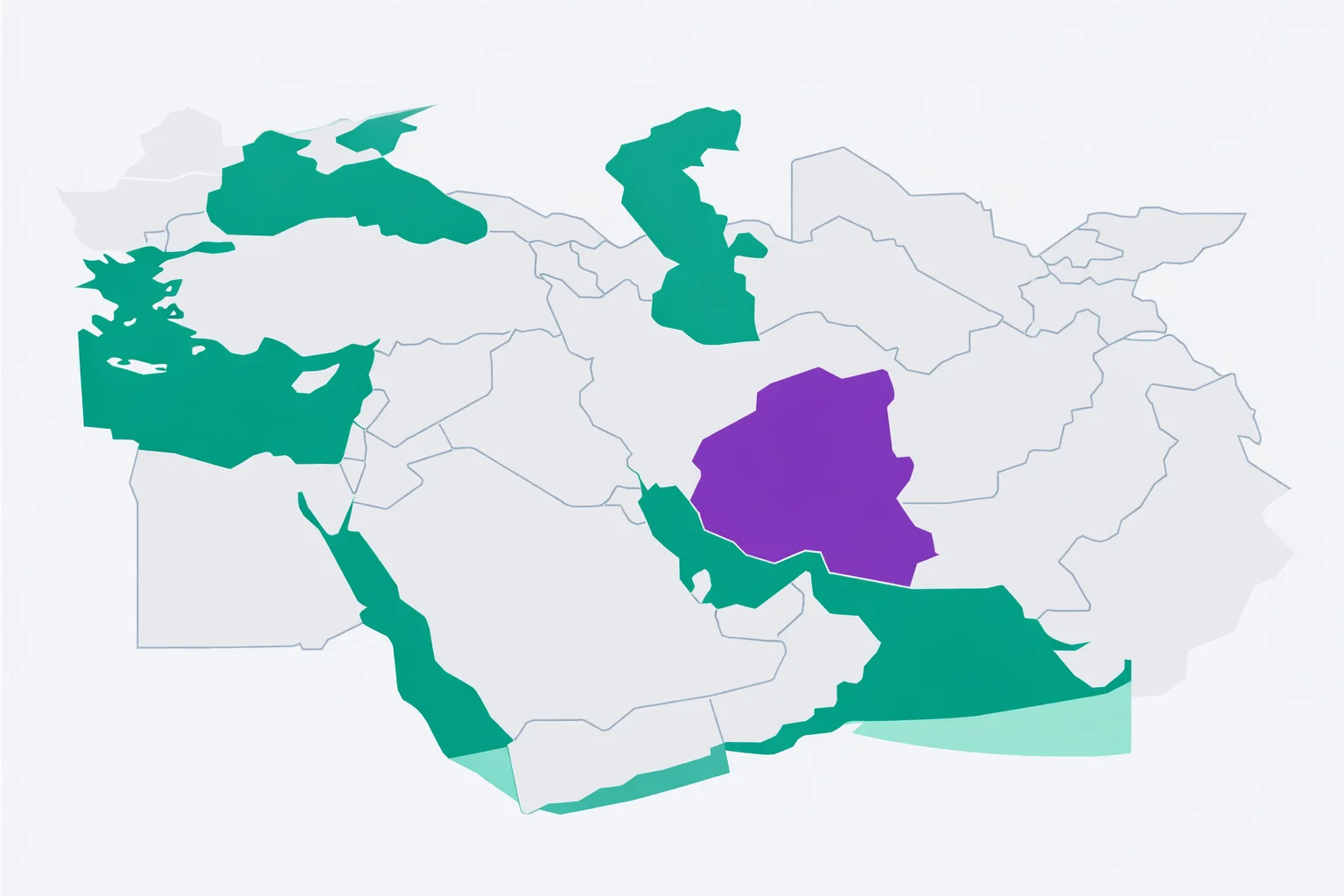
If there's one area that single-handedly tanks Middle East quiz scores, it's the Persian Gulf coast. Kuwait, Bahrain, Qatar, and the UAE are all crammed along a narrow strip of water between Saudi Arabia and Iran. Qatar is a small peninsula jutting northward. Bahrain is an island archipelago. Kuwait sits at the very top of the Gulf, wedged between Iraq and Saudi Arabia. The UAE stretches along the southeastern coast.
The confusion isn't random — it follows a pattern. People consistently swap Qatar and Bahrain because both are tiny Gulf states with enormous sovereign wealth funds and global name recognition. The difference? Qatar is a peninsula attached to Saudi Arabia's eastern coast. Bahrain is a cluster of islands sitting between Qatar and Saudi Arabia. Remember: Bahrain = Between (it sits between the two).
Kuwait gets confused with the UAE because both are wealthy Gulf oil states. But Kuwait is way up north, directly south of Iraq — it's the country Iraq invaded in 1990. The UAE is down south, touching Oman. If you can place Iraq, you can place Kuwait: it's the small coastal country immediately below it.
The 7 Hardest Middle Eastern Countries to Place
Based on aggregated quiz data from geography platforms, here are the countries with the highest error rates:
| Rank | Country | Avg. Error Rate | Most Confused With |
|---|---|---|---|
| 1 | Bahrain | 71% | Qatar |
| 2 | Qatar | 64% | Bahrain, Kuwait |
| 3 | Palestine | 58% | Lebanon, Jordan |
| 4 | Lebanon | 52% | Israel, Palestine |
| 5 | Kuwait | 48% | Bahrain, Qatar |
| 6 | Cyprus | 42% | Clicked on Turkey instead |
| 7 | Oman | 38% | Yemen, UAE |
Four of the top five are Gulf states or Levantine microstates. The pattern is clear: small countries clustered in tight spaces are the problem. The big nations — Saudi Arabia, Iran, Turkey — almost everyone gets right.
Region-by-Region Learning Strategy
Don't try to memorize all 17 at once. Pick one sub-region per practice session.
Periphery Nations (4 countries) — Start here because these are the anchors that everything else is relative to. Turkey stretches across the top of the map. Iran fills the right side. Egypt occupies the bottom-left corner. Cyprus is the island sitting south of Turkey in the Mediterranean. Once you lock these four, the interior countries become much easier to place by elimination.
The Levant (5 countries) — This is the eastern Mediterranean corridor running south from Turkey. Syria sits directly below Turkey. Lebanon is the thin coastal strip below Syria. Israel is south of Lebanon along the coast. Palestine occupies territory between Israel and Jordan. Jordan fills the space east of Israel and south of Syria. Think of it as a north-to-south chain: Syria → Lebanon → Israel/Palestine → Jordan. For a wider view of this corridor in a European context, our Asia map quiz places these same countries within the full Asian continent.
Gulf States (4 countries) — All four sit along the Persian Gulf coast between Saudi Arabia and Iran. From north to south: Kuwait (touching Iraq), Bahrain (island), Qatar (peninsula), UAE (largest of the four, touching Oman). The mnemonic K-B-Q-U reads top to bottom along the coastline.
Arabian Peninsula & Iraq (4 countries) — Saudi Arabia dominates the center. Iraq sits at the top, between Turkey, Syria, and Iran. Yemen occupies the southern tip of the peninsula. Oman wraps around the southeastern corner, separating the UAE from the Arabian Sea. Saudi Arabia is the giant; everything else borders it.
Common Mix-Ups and How to Fix Them
- Qatar & Bahrain — Both tiny, both incredibly wealthy, both in the Gulf. Qatar is a peninsula (connected to Saudi Arabia). Bahrain is an island. Peninsula vs. island. That's the anchor.
- Kuwait & UAE — Both oil-rich Gulf states, but 1,200 km apart. Kuwait is at the top of the Gulf (south of Iraq). UAE is at the bottom (east of Saudi Arabia, touching Oman). Think: Kuwait = close to war (Iraq border). UAE = close to luxury (Oman mountains, Dubai).
- Lebanon & Palestine — Both small Levantine territories. Lebanon is the narrow strip north of Israel. Palestine is inside the Israel-Jordan region. Lebanon touches Syria and the sea. Palestine does not touch Syria.
- Yemen & Oman — Both on the Arabian Peninsula's southern edge. Yemen is the southwestern country (bordering Saudi Arabia and the Red Sea). Oman is the southeastern country (bordering Saudi Arabia and the Arabian Sea, wrapping around the UAE). Yemen faces Africa. Oman faces India.
- Cyprus & "not on this map" — People forget Cyprus is here. It's the island south of Turkey, north of Lebanon. It's an EU member, but geographically it's in the Eastern Mediterranean and appears on almost every Middle East map. For more on Cyprus in its European context, try our countries of the world quiz.
All 6 Score Tiers Explained
Your quiz result places you in one of six tiers based on how many of the 17 countries you correctly identified:
🏆 Perfect Score (17/17): Every country correct on the first click, including Bahrain and Palestine — the two that trip up most players. About 5% of first-time players pull this off. You genuinely know the region.
🌟 Regional Expert (15-16): Near-perfect. Your 1-2 misses are almost certainly in the Gulf microstate cluster or the tight Lebanon-Palestine corridor. Top 10% of players.
🎯 Geography Enthusiast (12-14): Clearly above average. The big countries and most small ones are locked in. Check your regional breakdown — the Gulf states or the Levant are probably the weak link. Better than 60% of players.
🧭 Solid Navigator (9-11): This is where most people land on their first attempt. Turkey, Saudi Arabia, and Iran are automatic. The interior and coastal small states need work. One focused practice session on the Gulf states will jump you to the next tier.
📍 Getting Oriented (5-8):The big three are solid, but everything smaller than Iraq is fuzzy. Pick one sub-region from the article below and study it before retaking. You'll see an immediate improvement.
🗺️ Discovering the Middle East (0-4):No judgment — most education systems barely cover this region's geography. The feedback on each click teaches you as you play. Two retakes typically triple your score.
How to Actually Learn the Map of the Middle East
Lists don't work for maps. Staring at a labeled map doesn't work either — that's recognition, not recall. What works is exactly what this quiz does: active retrieval on a blank map. Every time you click where you think Qatar is, your brain either reinforces the correct spatial association or gets an error signal that updates your mental map. That's how spatial memory consolidates, according to research on the testing effect by Roediger and Karpicke.
Anchor first, fill in second.Lock in the four big countries — Turkey (north), Iran (east), Egypt (southwest), Saudi Arabia (center). Everything else is relative to them. Iraq is between Turkey, Syria, and Iran. Jordan is between Israel and Iraq. The Gulf states line the coast between Saudi Arabia and Iran. This "anchor and expand" method mirrors how London taxi drivers build spatial knowledge of the city: major routes first, then side streets.
Use the miss list.After each attempt, the "Countries You Missed" section is your exact study guide. If you missed three Gulf states, spend a minute studying just that coastline. Targeted practice outperforms broad review by a wide margin.
Retake immediately. Your second attempt will improve by 3-5 countries on average. The third attempt typically locks most corrections into long-term memory. The quiz shuffles country order each time, so you're genuinely retrieving spatial information, not memorizing a sequence. For a completely different geographic challenge, try our Africa map quiz — 54 countries, three times the count, and a map most people find even harder than the Middle East. Or test your knowledge of another region with our flags of the world quiz, which swaps map shapes for flag colors and symbols.